|
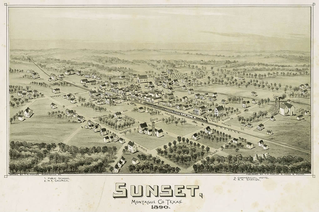
Sunset 1890 old
map
Click on image to enlarge |
History in
a Pecan Shell
The community could
be considered to have been alongside the Butterfield Overland stage
route since there was once a stop two miles from Sunset�s present
location. Settlement began around 1870 and a store was in operation
soon after. Storekeeper Sam Smith applied for a post office under
the name Smithville,
but Bastrop County
had beat them to it. The name Sunset was suggested and accepted.
In 1882 the Fort Worth and Denver Railroad arrived, drawing off population
from the smaller town of Pella. The population in 1900 was estimated
to be over 600.
A surveyor�s mistake had placed Sunset in Wise
County prior to 1990 but a ruling put it firmly inside Montague.
From 1900 to 1940 the town prospered, although a toll was taken by
the boll weevil
in the 20s, the Drepession in the 30s, WWII
in the 40s and by the time the 50s had arrived, Sunset had an estimated
population of 260. By the 1980s it was down to a mere 200 � the number
given for the 1990 census. |
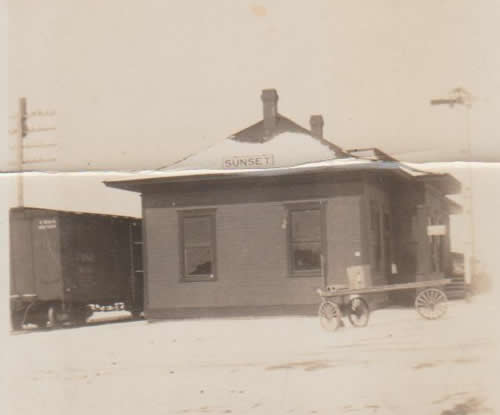 |
Sunset Depot
"I found this in my Grandparent's photo book." - Janelle
Vanderford, , February 14, 2022
More Texas Depots |
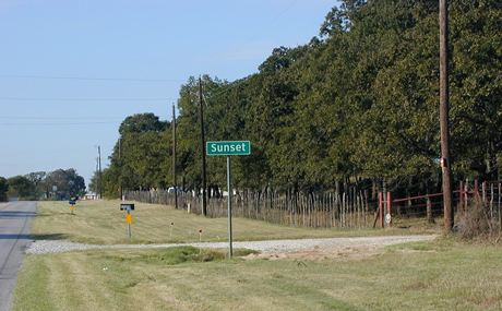
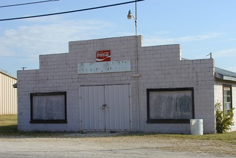
Entering Sunset
Photo courtesy Mike
Price, October 2007 |
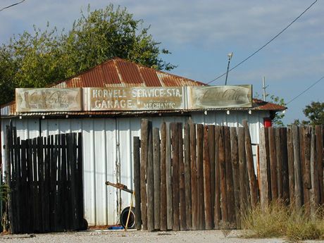
Sunset Volunteer
Fire Department
Photo courtesy Mike
Price, October 2007 |
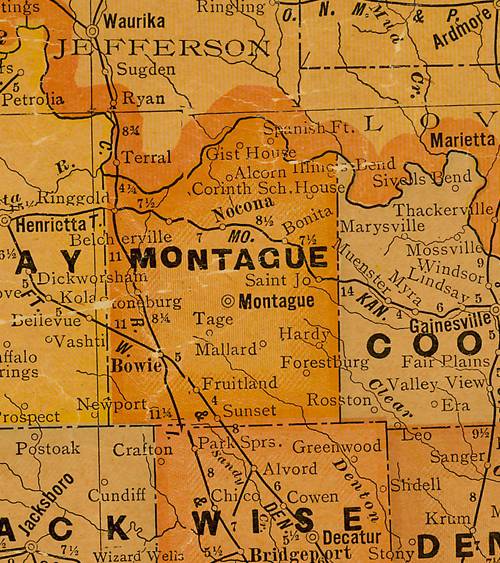
Montague
County 1920s map showing Sunset on the Fort Worth and Denver Railroad
near Wise County line.
S of Montague
From Texas state map #10749
Courtesy Texas General Land Office |
| Texas
Escapes, in its purpose to preserve historic, endangered and vanishing
Texas, asks that anyone wishing to share their local history, stories,
landmarks and recent or vintage photos, please contact
us. |
|
|