|
History in
a Pecan Shell
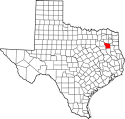
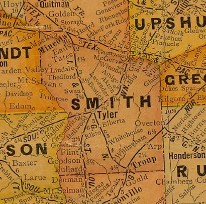
Walnut Grove did
not appear on many early maps. It did appear on a 1936 map and showed
a church, cemetery, sawmill and a few homes. The Handbook of Texas
suggests that "Children probably attended the nearby Bullard
schools."
1973 maps show both the Walnut Grove Church (and cemetery) as well
as the Mount Carmel Church. Walnut Grove appears on the TXDoT Smith
County maps. |
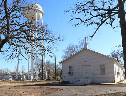
Photographer's
Note:
"The tower and church (above) are at least 4 miles down the road from
the mapquest.com location of Walnut Grove. I searched and got directions
from Whitehouse, to Walnut Grove.
The Church and Water tower are located on North 756 / Paluxy Drive.
Mapquest states taking a left on FM 756 from 344. The church and water
tower are to the right on FM 756 from 344. If it is a different community,
[the two are] only four miles apart." - Lori
Martin |
| Texas
Escapes, in its purpose to preserve historic, endangered and vanishing
Texas, asks that anyone wishing to share their local history, stories,
landmarks and recent or vintage photos, please contact
us. |
|
|