|
|
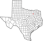
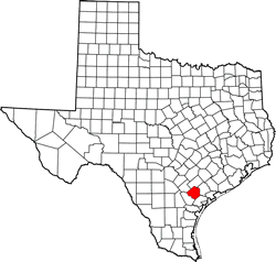
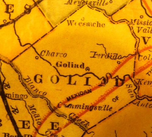
Texas
| Counties
GOLIAD COUNTY,
TEXAS
28� 39' 0"
N, 97� 25' 48" W (28.65, -97.43)
Population: 7,517 est. (2016) 7,210 (2010)
Total area: 859 square miles (2,220 km2)
852 square miles (2,210 km2) land
7.4 square miles (19 km2) water |
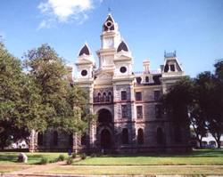
Goliad County
History
(from 1936 Texas
Centennial Marker)
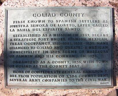
GOLIAD COUNTY
First known to Spanish settlers as Nuestra Senora de Loreto, later
called La Bahia del Espiritu Santo.
Established as a mission in 1749. Became a strategic fort under Spanish,
Mexican, Texas occupancy, 1810 - 1821, 1835 - 1836. Name changed to
Goliad and created a Mexican municipality in 1829. Scene of massacre
of Fannin and his command in 1836.
Organized as a county, 1836, with town of Goliad
as the county seat.
Home of Confederate General Hamilton P. Bee. From population of 3,384
county sent several army companies to the Civil War. |
Goliad County
Town List
Cities, Towns
& Ghost Towns: History, attractions, landmarks, architecture,
monuments, museums, cemeteries, bridges, parks, vintage & contemporary
images, area destinations, hotels,
and forum.
County Seat - Goliad
Book Area Hotel Here - Victoria
Hotels
|
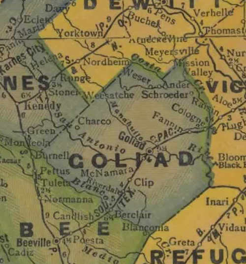
Goliad County
Vintage Maps
|
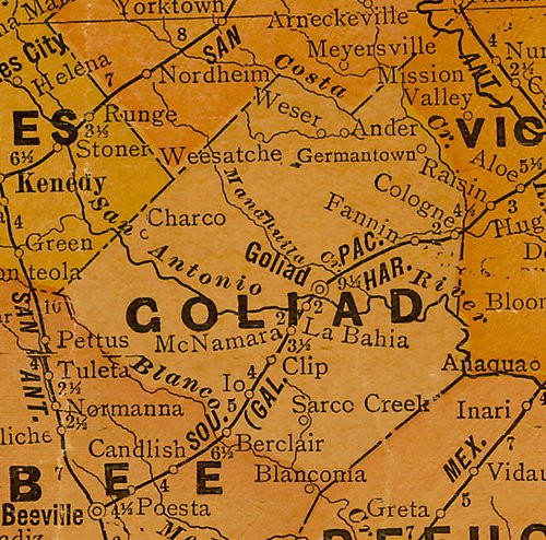
Goliad County
1940s map
From Texas state map #4335
Courtesy
Texas General Land Office |
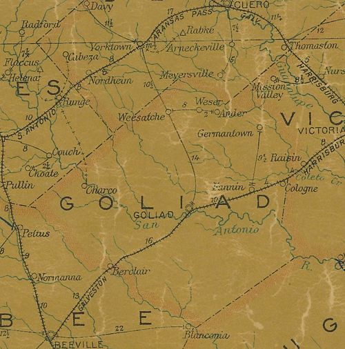
Goliad County
1920s map
From Texas state map #10749
Courtesy
Texas General Land Office |
Goliad County
1907 postal map
From Texas state map #2090
Courtesy
Texas General Land Office |
Goliad County
1874 Map
Courtesy Texas General Land Office |
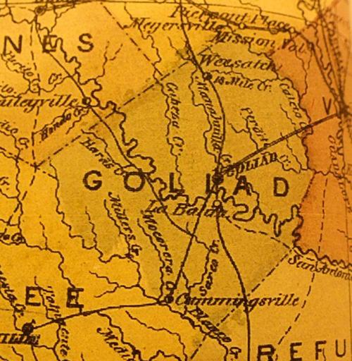
Goliad County
1867 Map
Courtesy Texas General Land Office |
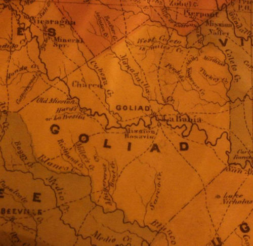
Goliad County
1858 Map
Courtesy Texas General Land Office |
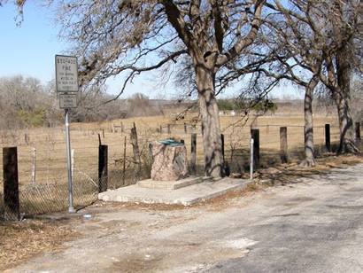
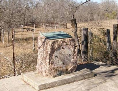
Goliad County
Centennial Marker
|
| US
59, roadside park about 4.5 miles West of Goliad |
| Texas
Escapes, in its purpose to preserve historic, endangered and vanishing
Texas, asks that anyone wishing to share their local history, stories,
landmarks and vintage/historic photos, please contact
us. |
|
|