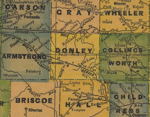
|
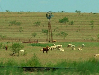
"Not much here,
but here is some of it."
Photo courtesy Ken
Rudine, July 2006 |
History in
a Pecan Shell
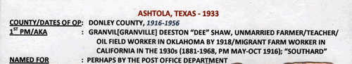
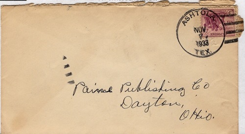
Another
town established by the Fort Worth and Denver City Railway, Ashtola
began life as a simple railroad section house in 1906. The site was
known as Southard and a post office was applied for and was
granted that same year. Within two years the community had a school
and two stores.
Southard may have caused some confusion with similarly spelled towns
and in 1916 a change of name was requested by the post office department.
A man named W. A. Poovey was asked for a new name. After he modestly
suggested Poovieville, the postal authorities chose Ashtola - a name
with no known origin, but with considerable more dignity than Poovieville.
The population was still estimated at a mere 25 people when the Great
Depression hit. A home demonstration club was formed which later evolved
into the Ashtola Needle Club. Ashtola had a gristmill which remained
in operation until the early 1970s, but the post office closed in
the mid-1950s. When the Ashtola school merged with Clarendon's
schools in 1958, the former school was made into a community center.
From 1949 through the mid-1960s the estimated population was 50 -
dropping to 25 in the late 1960s. From 1970 to 1990 the population
was given as 20 and what it is today is anybody's guess. |
 |
 |
| Texas
Escapes, in its purpose to preserve historic, endangered and vanishing
Texas, asks that anyone wishing to share their local history, stories,
landmarks and recent or vintage photos, please contact
us. |
|
|