|
| We
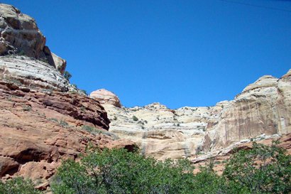
became aware of the Escalante when we saw it at a distance
from Bryce Canyon a few years ago. Also known as The Grand Staircase,
it is a geological formation of colored cliffs, plateaus, mesas, buttes,
pinnacles and canyons. I used a street atlas program to help select
our route. My chosen via points are the reasons we came to use State
Road 12 between Torrey and Bryce Canyon. |
 |
Utahĺs
Scenic Byway 12 has been voted one of Americaĺs ten most scenic highways.
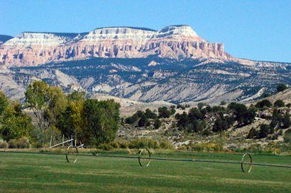
Our trip starts at Torrey on Hwy 24 in Utahĺs northern high
land of the Dixie National Forest. That means we travel on
the tilted terraces stepping down forming great cliffs. The map says
first we ascend to 9600 feet elevation on this road. As we travel
south we can see Boulder Mountain looming to our southwest.
This is a 112-mile journey terminating at Red Canyon, just
past Bryce Canyon. Stopping first for a ô$5 FOOT LONGö sandwich, which
cost SEVEN DOLLARS, we begin our trip through the Dixie Forest. At
first we didnĺt notice, but it became clear there was virtually no
traffic on this most scenic highway. |
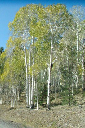
30 miles S of
Torrey Aspens are changing color
Photo courtesy The
Rudine Team |
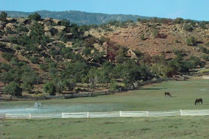
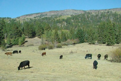
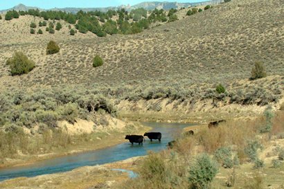
Cattle graze
in the foothills of Boulder Mountain
Photo courtesy The
Rudine Team |
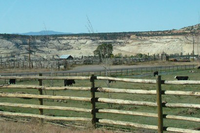
| Just after passing
signs to an Anasazi Museum we enter the town of Boulder. On
the south side of town is Burr Grill that marks where Burr Trail from
Capitol Reef joins our highway from about 60 miles to the east. |
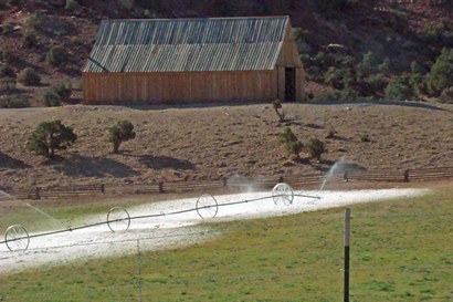
A red barn half
way between Boulder and Hogback road
Photo courtesy The
Rudine Team |
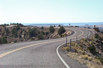
| Next
comes the main feature of Scenic Byway 12. A stretch of road known
as HOGBACK and it is a challenge for most peopleĺs nerves.
This is a ridge road with severe drop-offs on each side without guardrails.
When we arrived here it was 37F at 6300-foot altitude. This narrow
serpentine road without guardrails is not tolerant of driving errors.
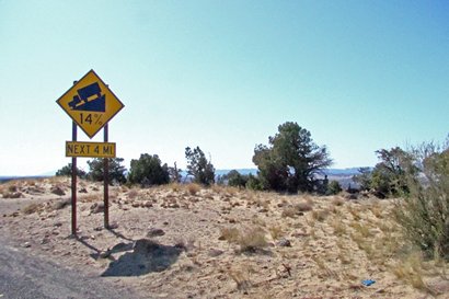
After crossing Hogback a highway sign says Steep Grade Next 4 Miles
downhill at 14% incline. It doesnĺt mention the 100% incline on both
sides. Reaching the Escalante River Bridge means you have completed
this rapid downhill run, but the town is 14 more miles. |
A rare highway
sign warning of a steep downhill road
Photo courtesy The
Rudine Team |
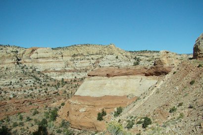
Calf
Creek
cutting through the rock on the right side of Hogback
Photo courtesy The
Rudine Team |
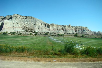
Approaching Escalante
from Hogback road area
Photo courtesy The
Rudine Team |
| There is an alternate
even more excitingly dangerous road. The riskier older road is called
HELLĺS BACKBONE ROAD. We did not take that ôroad less traveledö.
We ARE NOT among those folks who think a worthwhile drive is a sometimes
one-lane road with unprotected 2000-foot drop-offs on each side. Measuring
39 miles on its trip from Boulder to Escalante it adds about 2 hours
to this otherwise 24-mile trip. |
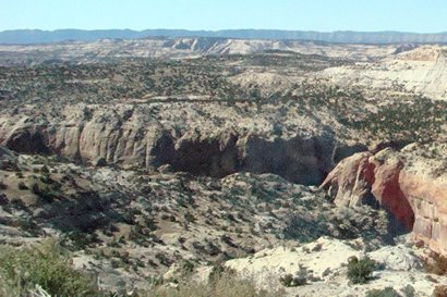
Adjacent to the
camping area is a box canyon
Photo courtesy The
Rudine Team |
 |
 |
In
Escalante we found the city park where we could eat our sandwiches
and use restrooms. A carload of travelers also came in for relief
while we were there. From Old Hickory, TN they had taken the HELLĺS
BACKBONE ROAD. The driver told me it was not such a scary drive. I
noticed his three passengers were silent but their body language spoke
volumes. It was obvious the view from behind the steering wheel looks
different than from the passenger seats. They were headed to Vegas
next (to continue gambling, I surmised).
The name Escalante comes from Francisco Silvestre Velez de Escalante
who explored the area in the 1770ĺs. (All these years I thought Escalante
somehow must be the root word of escalator. I should have known
better.)
Book
Hotels ›
Down the road the next town is Henrieville, then Cannonville
where there was a Visitor Information Center. Later we found out that
Kodachrome Basin State Park was only 8 miles SE of Cannonville,
just a 15-minute drive. Manned by only one person and the waiting
crowd, we left without asking our questions. |
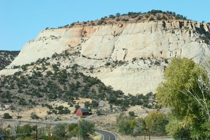
 |
Pink cliffs just
3 miles from the Gray cliff near Tropic
Photo courtesy The
Rudine Team |
Tropic
is a small town filled with attractive motels and cafes. It was the
final town before Bryce Canyon and probably a choice place to stay.
Book
Hotels › |
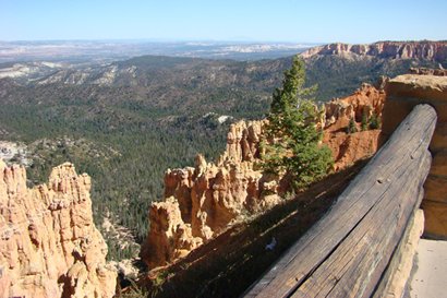
At the eastern
boundary of Bryce Canyon with salmon coloring
Photo courtesy The
Rudine Team |
Now nearing Bryce
Canyon I notice how the pink-orange color of these cliffs remind
me of Circus Peanuts (a marshmallow candy.) On Bryce Canyon road is
Rubyĺs Inn. This is a monstrous motel, shopping center, and post office.
When we passed, it was alive with people. Entrance to Bryce and all
national parks is now $25. That makes the Golden Age Passport
I bought many years ago for $10 a real bargain since we get in free.
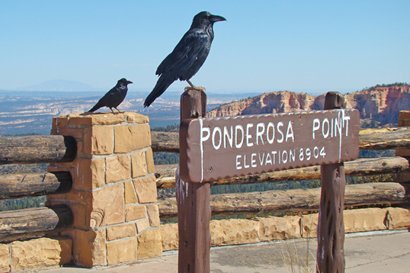
In Bryce at Ponderosa Point I noticed a couple of large black
birds posing, one on the sign and the other sat nearby. I quickly
shot a photo. Beggars they are - Iĺve seen it at parks before. Almost
immediately an old man tapped me on the shoulder and said, ôThose
crows have asked me to collect a dollar for each photo made of themö.
I laughed and said those Ravens are just joking with you, theyĺre
not crows. Foiled he laughed and returned to his car. |
 |
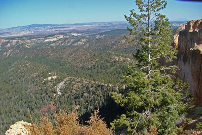
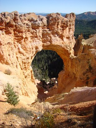
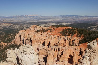
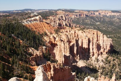
| As the name implies
ľ Bryce is a canyon. It has unique colors and formations, and offers
many different locations as points of view. Once inside the park you
can see it in any fashion you like, but we think it is best to drive
the main road 19 miles to the south end. Then stop at your chosen
points (now conveniently all on the right-hand side) as you leave
northbound. |
It was here at
9100 feet altitude a fellow Texan noticed my San Marcos windbreaker
and greeted me. We quickly decided it was too cold to do much else
but shake hands and say HOWDY.
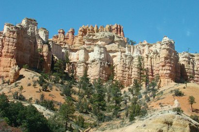
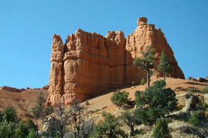
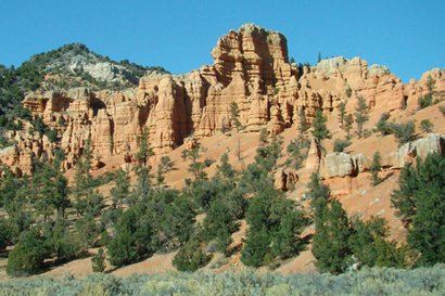
Back at SR12 exit Bryce by turning west immediately entering Red
Canyon, a small but beautiful natural wonder. |
Red
Canyon
looking east from junction of Hwy 89 and 12
Photo courtesy The
Rudine Team |
| The highway crosses
the Sevier River and then ends at a junction with Highway 89.
|
|
|