|
Texas
| Counties
ARCHER
COUNTY, TEXAS
Texas
Panhandle
33� 36' 36" N, 98� 41' 24" W (33.61, -98.69)
Population: 8,560 (2020)
9,054 (2010) 8,854 (2000) 7,973 (1990)
Total area 925 sq mile (2,400 km2):
903 sq mile (2,340 km2) land
22 sq mile (57 km2) water |
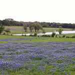
Archer County
History
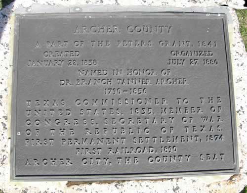
1936
Texas Centennial Marker: From Archer
City, take US 79 S about 6 miles
ARCHER COUNTY
A part of the Peters Grant, 1841;
Created January 22, 1858;
Organized July 27, 1880;
Named in honor of Dr. Branch Tanner Archer 1790-1856; Texas Commissioner
to the United States, 1835, Member of Congress, Secretary of War of
the Republic of Texas.
First permanent settlement, 1874;
First railroad, 1890;
Archer City,
the county seat. |
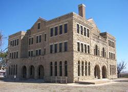
Archer County
Town List
Cities, Towns &
Ghost Towns: History, attractions, landmarks, architecture, monuments,
museums, cemeteries, bridges, parks, vintage & contemporary images,
area destinations, forum...
County Seat - Archer
City |
Archer County
Vintage Maps
|
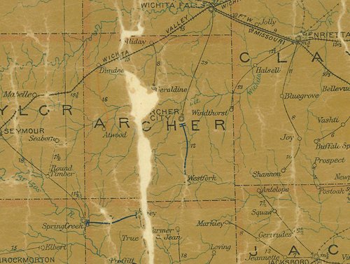
Archer County
1907 postal map
From Texas state map #2090
Courtesy
Texas General Land Office |
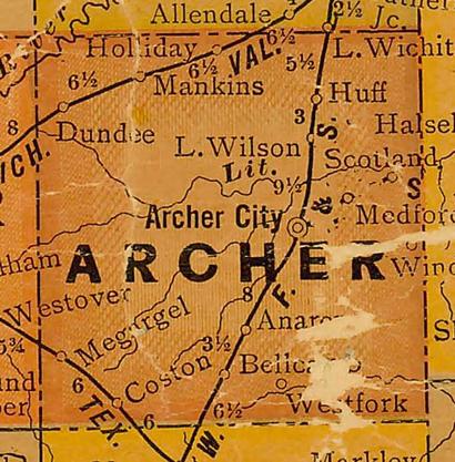
Archer County
1920s map
From Texas state map #10749
Courtesy
Texas General Land Office |
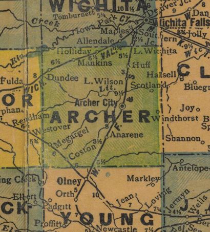
Archer County
1940s map
From Texas state map #4335
Courtesy
Texas General Land Office |
Archer County
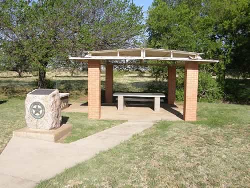
1936 Texas Centennial Marker
From Archer
City, take US 79 South about 6 miles |
Archer County 1936 Texas Centennial marker
Photo courtesy Barclay
Gibson, April 2010 |
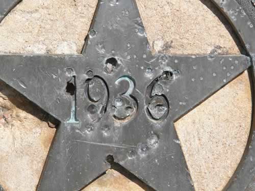
The Lone Star on the Centennial marker
Photo courtesy Barclay
Gibson, April 2010 |
| Texas
Escapes, in its purpose to preserve historic, endangered and vanishing
Texas, asks that anyone wishing to share their local history, stories,
landmarks and recent or vintage photos, please contact
us. |
|
|