|
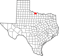
Texas
| Counties
WICHITA COUNTY,
TEXAS
33� 59' 24"
N, 98� 42' 36" W (33.99, -98.71)
Population: 129,350 (2020)
131,500 (2010) 131,664 (2000) 122,378 (1990)
Total area: 633 square miles (1,640 km)
628 square miles (1,630 km) land
5.3 square miles (14 km) water |
Wichita County
History
1936 Centennial
Marker:
WICHITA COUNTY
Formed from Young Land District;
created February 1, 1858;
organized June 21, 1882;
named for the Wichita Indians who formerly resided here;
county seat, Wichita
Falls |
Wichita
County Town List
Cities, Towns &
Ghost Towns: History, attractions, landmarks, architecture, monuments,
museums, cemeteries, bridges, parks, vintage & contemporary images,
area destinations, hotels,
and forum.
County Seat - Wichita
Falls
Book Hotel Here - Wichita
Falls Hotels |
Wichita County,
Texas
Vintage Maps
|
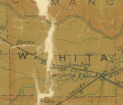
Wichita County
1907 postal map
From Texas state map #2090
Courtesy
Texas General Land Office |
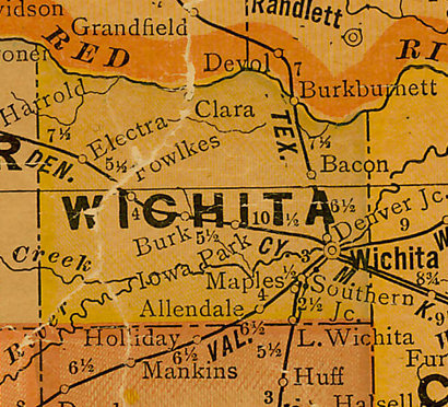
Wichita County
1920s map
From Texas state map #10749
Courtesy
Texas General Land Office |
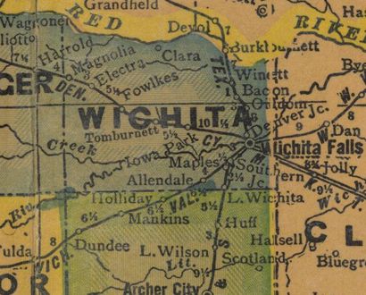
Wichita County
1940s map
From Texas state map #4335
Courtesy
Texas General Land Office |
| Texas
Escapes, in its purpose to preserve historic, endangered and vanishing
Texas, asks that anyone wishing to share their local history, stories,
landmarks and recent or vintage photos, please contact
us. |
|
|