|
Texas
| Counties
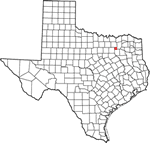
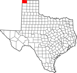
DALLAM COUNTY,
TEXAS
Texas
Panhandle
36� 17' 24" N, 102� 35' 24" W (36.29, -102.59)
Population: 7,115 (2020)
6,703 (2010) 6,222 (2000) 1990 5,461 (1990)
Total area 1,505 square miles (3,900 km2):
1,503 square miles (3,890 km2) land
2.0 square miles (5.2 km2) water |
Dallam County
History
1936
Centennial Marker:
DALLAM COUNTY
Formed from Young and Bexar territories:
Created August 21, 1876;
Organized July 28, 1891.
Named in honor of James W. Dallam, 1818-1847. Compiler of digest of
decisions of Supreme Court of the Republic
of Texas, 1845. County Seat, Texline,
1891-1903.
Dalhart, since
this area was once part of XIT
Ranch. |
Dallam County
Town List
Cities, Towns &
Ghost Towns: History, attractions, landmarks, architecture, monuments,
museums, cemeteries, bridges, parks, vintage & contemporary images,
area destinations, forum,,.
County Seat - Dalhart |
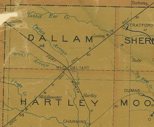
Dallam County
Vintage Maps
|
Dallam County
1907 postal map
From Texas state map #2090
Courtesy
Texas General Land Office |
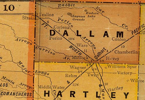
Dallam County
1920s map
From Texas state map #10749
Courtesy
Texas General Land Office |
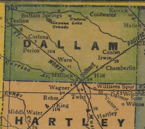
Dallam County
1940s map
From Texas state map #4335
Courtesy
Texas General Land Office |
| Texas
Escapes, in its purpose to preserve historic, endangered and vanishing
Texas, asks that anyone wishing to share their local history, stories,
landmarks and recent or vintage photos, please contact
us. |
|
|