|
 |
History in
a Pecan Shell
The
land around Fashion had been settled as early as the 1850s.
In 1916 the Hickok Ranch was subdivided into farms. The town was first
called Hickok after the ranch, then Hindenburg, which necessitated
another name change around WWI.
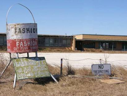
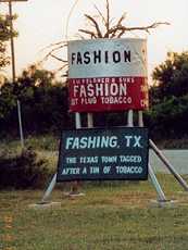
The name comes from a popular brand of tobacco, but it is also similar
to the German Fasching � the German Autumn festival season.
The post office, (which closed in 1988) was known as Fashing in 1920.
Fashing did not have electricity until the 1930s, when the population
was a mere 25 persons. From 1939 until 1964 it reported 125 residents
which seems to be it�s highest point. In 1968 thew population was
back down to 90.
In 1972 Fashing was proclaimed the "Grand Champion Rural Community
of Texas." Its first school, was built in 1917. A school for Mexicans
was opened and the two merged in 1947.
After 1980 the seventh and eighth grades were bused to Karnes
City. Primary grades stayed in Fashing until the school closed
(1988).
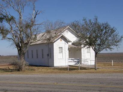
Nearby Peggy, Texas shares a
community center with Fashing.
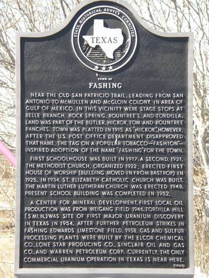
Fashing Historical Marker |
 |
Fashing Historical
Marker
Junction of FM 2924 & 99, in front of Fashing School
Photo courtesy Barclay
Gibson, February 2009 |
Historical
Marker:
Town of Fashing
Near the Old San
Patricio Trail, leading from San
Antonio to McMullen and McGloin colony, in area of Gulf of Mexico.
In this vicinity were stage stops at Belle Branch, Rock Spring, Rountree's,
and Tordilla. Land was part of the Butler, Hickok, Tom and Rountree
ranches. Town was platted in 1915 as "Hickok." However, after the
U.S. Post Office Department disapproved that name, the tag on a popular
tobacco -- "Fashion" -- inspired adoption of the name "Fashing" for
the town.
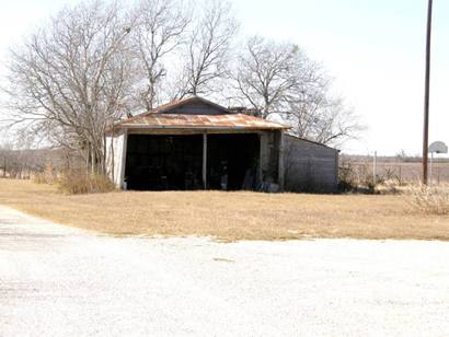
First schoolhouse was built in 1917; a second, 1921. The Methodist
church, organized 1922, erected first house of worship (building moved
in from Bastrop) in 1925.
In 1934, St. Elizabeth Catholic Church was built. The Martin Luther
Lutheran Church was erected 1948. Present school building was completed
in 1952.
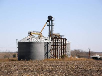
A center for mineral development. First local oil production was from
Weigang Field, 1946. Tordilla Hill (5 mi. N) was site of first major
uranium discovery in Texas in 1954. After
further petroleum strikes in Fashing Edwards Limestone Field, 1958,
gas and sulfur processing plants were built by the Elcor Chemical
Co., Lone Star Producing Co., Sinclair Oil and Gas Co., and Warren
Petroleum Corp. Currently, the only commercial uranium operation in
Texas is near here. |
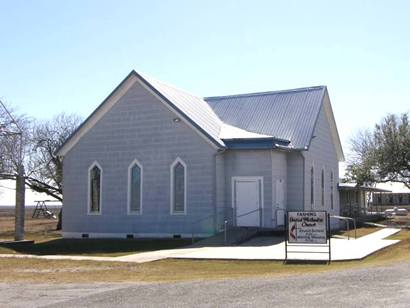
Photographer's
Note:
Notice on the historical marker that the Methodist Church had been
moved from Bastrop. - Barclay
Gibson |
Fashing United
Methodist Church
Photo courtesy Barclay
Gibson, February 2009 |
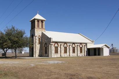
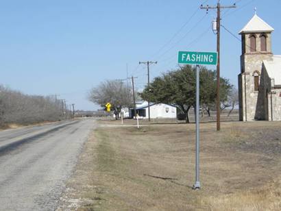
�The Texas Town
Tagged after a Tin of Tobacco.�
Photo courtesy Barclay
Gibson, February 2009 |
|
|
Same
scene in February 2001
TE Photo |
| Texas
Escapes, in its purpose to preserve historic, endangered and vanishing
Texas, asks that anyone wishing to share their local history, stories,
landmarks and recent or vintage photos, please contact
us. |
|
|