|
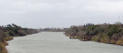
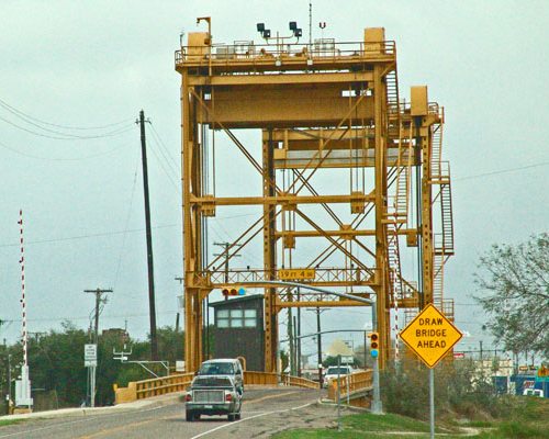
Arroyo Colorado
Photo Courtesy Ken
Rudine, February 2008 |
History in
a Pecan Shell
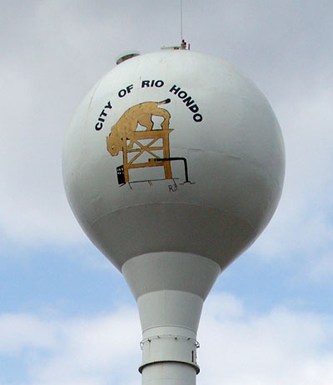
Spanish for "deep river," the community was named in 1910 for being
on the Arroyo Colorado. A post office was granted the following year
and opened in the store of J. R. George.
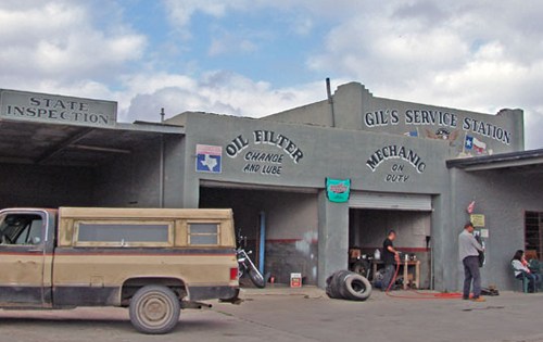
The population was 150 in 1914 when the town had most essential businesses
- as well as a restaurant. The population grew to 250 in the mid-1920s
and by the end of that decade it had swelled to 1,000. The Great Depression
took its toll - and by the end of the 30s, the population had decreased
to 713. A rebound in the 50s put it over 1,100. The population in
2000 was given as 1,942. |
 |
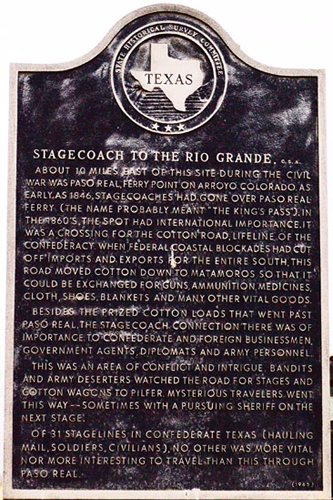 |
Historical Marker
- On FM 1420,
near intersection with FM 508 (Combes-Rio Hondo Road):
Stagecoach
to the Rio Grande, C.S.A.
About 10 miles
east of this site during the Civil War was Paso Real, ferry point
on Arroyo Colorado. As early as 1846, stagecoaches had gone over Paso
Real Ferry (the name probably meant "The King's Pass"). In the 1860's,
the spot had international importance. It was a crossing for the cotton
road, lifeline of the Confederacy. When Federal coastal blockades
had cut off imports and exports for the entire South, this road moved
cotton down to Matamoros so that
it coud be exchanged for guns, ammunition, medicines, cloth, shoes,
blankets and many other vital goods.
Besides the prized cotton loads that went past Paso Real, the stagecoach
connection there was of importance to Confederate and foreign businessmen,
government agents, diplomats and Army personnel.
This was an area of conflict and intrigue. Bandits and Army deserters
watched the road for stages and cotton wagons to pilfer. Mysterious
travelers went this way--sometimes with a pursuing Sheriff on the
next stage.
Of 31 stagelines in Confederate Texas (hauling mail, soldiers, civilians),
no other was more vital nor more interesting to travel than this through
Paso Real.
1965 |
 |
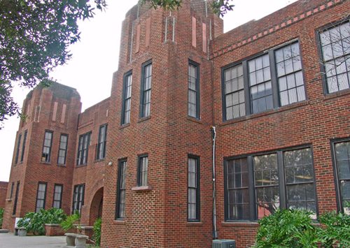
Cameron County
Office
Photo Courtesy Ken
Rudine, February 2008 |
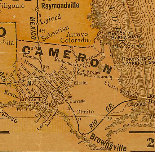
Cameron
County 1920s map showing Riohondo
From Texas state map #10749
Courtesy Texas General Land Office |
| Texas
Escapes, in its purpose to preserve historic, endangered and vanishing
Texas, asks that anyone wishing to share their local history, stories,
landmarks and recent or vintage photos, please contact
us. |
|
|

 Texas
Gulf Coast
Texas
Gulf Coast East
Texas
East
Texas Central
Texas North
Central
Texas North Central
Texas South
Central
Texas South Texas
Panhandle
Texas
Panhandle South
Texas
South
Texas Texas
Hill Country
Texas
Hill Country West
Texas
West
Texas Texas
Ghost Towns
Texas
Ghost Towns Texas
Counties
Texas
Counties